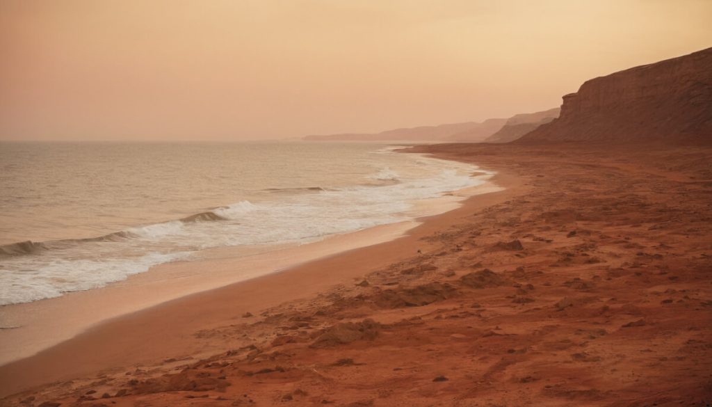

Artist’s depiction of an Earth-like beach on Mars. (© Prasa-gg – stock.adobe.com)
Latest research pointing to a massive ocean on the Red Planet also shows patterns consistent with Earth-like shorelines
In a nutshell
- Chinese Zhurong rover discovered underwater layers of sediment beneath the Martian surface that closely resemble Earth’s coastal beach deposits, providing the strongest evidence yet for an ancient ocean on Mars.
- The beach-like formations extend continuously for over 1.3 kilometers, indicating a stable, long-lived body of water rather than temporary flooding — essentially a “vacation-style beach” that existed for tens of millions of years.
- This discovery suggests Mars once had a complex water system with rivers, waves, and ocean currents that could have created environments potentially habitable for microbial life.
GUANGZHOU, China –– Mars wasn’t always the dusty red desert we know today. Billions of years ago, waves may have crashed against sandy beaches under an alien sky, while rivers carried sediments into a vast northern ocean. This isn’t science fiction—it’s the compelling picture emerging from a discovery announced today.
Chinese scientists, using ground-penetrating radar from the Zhurong rover, have uncovered what appears to be ancient beach deposits buried beneath the Martian surface, providing the strongest evidence yet that Mars once had Earth-like coastlines and a massive ocean.
Published in the Proceedings of the National Academy of Sciences, this study reveals distinct layer patterns buried under the planet’s surface at Utopia Planitia, where Zhurong landed in May 2021.
Vacation-Style Beaches on the Red Planet
Intriguingly, these patterns resemble coastal deposits found on Earth’s shorelines. The structure and consistency of these buried layers align with patterns observed in foreshore sedimentation on Earth, where waves deposit sediments over time.
“We’re finding places on Mars that used to look like ancient beaches and ancient river deltas,” said Benjamin Cardenas, assistant professor of geology at Penn State and co-author of the study, in a statement. “We found evidence for wind, waves, no shortage of sand — a proper, vacation-style beach.”
The study suggests that these features most likely formed in a stable, long-lived body of water rather than being the result of short-term flooding or isolated melt events.

Seeing Beneath the Surface: How the Discovery Was Made
For decades, scientists have debated whether Mars once hosted oceans. While orbital imagery has suggested potential shorelines, variations in their elevations made this evidence controversial. Some features initially thought to be ancient coastlines were later explained by lava flows or aeolian processes.
The new radar evidence provides a fresh perspective by peering beneath the surface, where geological structures remain better preserved from billions of years of erosion, impacts, and dust storms.
Zhurong, part of China’s Tianwen-1 mission, landed on southern Utopia Planitia on May 15, 2021. Before entering hibernation in May 2022, it traveled 1.921 kilometers across the Martian surface, collecting scientific data with its instruments, including the Rover Penetrating Radar (RoPeR).
This radar system, operating at 15-95 MHz, enabled scientists to detect structures as deep as 100 meters below the surface. After careful processing, researchers identified 76 subsurface dipping reflectors, all inclining toward the northern lowlands.

Earth-Like Coastal Features
The team compared these angles with radar data from 21 different coastal areas on Earth and found striking similarities. On Earth, such dipping layers typically form as waves deposit sediments at shorelines, advancing or retreating coastlines over time.
“This stood out to us immediately because it suggests there were waves, which means there was a dynamic interface of air and water,” Cardenas said.
These results align with previous research that identified possible marine sedimentary rocks ejected by meteorite impacts near the rover’s landing site.
Ruling Out Alternative Explanations
The research team carefully considered other potential explanations for these subsurface features.
Lava flows were ruled out because the measured permittivity (how well a material transmits electric fields) of the layers averages 4.4, significantly lower than volcanic deposits, which typically measure around 9. This makes a volcanic origin unlikely.
Wind-blown sand dunes were also dismissed because aeolian deposits usually exhibit varying inclination angles and cross-bedding, neither of which appeared in the radar data.

The possibility of river deposits was considered but found unlikely since the landing site lacks clear evidence of fluvial features such as valley networks.
The study concludes that these deposits are most consistent with ancient coastal sedimentary structures, likely composed of sand and pebble gravels transported by waves and currents in an ancient Martian ocean.
Implications for Mars’ Past Climate and Habitability
This discovery strengthens the hypothesis that Mars’ northern plains once hosted a large and persistent ocean. The thickness and continuous extent of these deposits suggest that liquid water existed for an extended period, potentially tens of millions of years.
“We’re seeing that the shoreline of this body of water evolved over time,” Cardenas said. “We tend to think about Mars as just a static snapshot of a planet, but it was evolving. Rivers were flowing, sediment was moving, and land was being built and eroded.”
This timeframe aligns with other evidence suggesting that Mars experienced a warmer, wetter climate during the Late Hesperian period (approximately 3 to 3.5 billion years ago). Such conditions would have been more favorable for potential microbial life.
The presence of these deposits suggests that Mars once had a functioning hydrological cycle, with rivers transporting sediments into an ocean basin.

Interestingly, some less prominent radar reflectors dip in the opposite direction, forming dome-like structures interpreted as ancient beach ridges, where waves once reached their maximum height before retreating.
These findings also provide an explanation for previous orbital observations of paleoshorelines at varying elevations. While these variations initially cast doubt on the ocean hypothesis, processes such as true polar wander (shifts in Mars’ rotation axis) and crustal deformation from volcanic activity may have altered shoreline elevations over time.
Rewriting Our Understanding of Mars
“The capabilities of the Zhurong rover have allowed us to understand the geologic history of the planet in an entirely new way,” said Michael Manga, professor of Earth and planetary science at UC Berkeley.
With Zhurong’s direct subsurface observations, we now have on-the-ground evidence that complements orbital studies and strengthens the case for at least one major oceanic period in Mars’ history.
This discovery carries profound implications for Mars’ habitability. On Earth, coastal environments are highly favorable for life, offering nutrients, energy gradients, and protected niches where primitive organisms can thrive. If similar conditions existed on ancient Mars, they might have been conducive to microbial life.
While the Zhurong rover was not equipped to search for biosignatures, its findings help narrow down promising locations for future missions seeking signs of past life.
The study also raises questions about what happened to Mars’ ancient ocean. Did it escape to space as the planet’s atmosphere thinned? Does some remain frozen underground? Could deep groundwater still exist beneath Mars’ surface? These questions will likely drive the next generation of Mars exploration.
For now, this research offers a remarkable glimpse into Mars’ past—a time when waves lapped at shorelines, rivers flowed into an ocean, and the Red Planet may have looked strikingly Earth-like.
Paper Summary
Methodology
Researchers used data from the Rover Penetrating Radar (RoPeR) onboard China’s Zhurong rover, which successfully landed in southern Utopia Planitia on May 15, 2021. The rover traveled 1,921 meters across the Martian surface before entering hibernation in May 2022. The study focused specifically on the low-frequency channel (15-95 MHz) data from RoPeR, which can penetrate up to 100 meters beneath the surface. Scientists processed this radar data through multiple steps, including self-test trace removal, trace-spacing regularization, background removal, and gain adjustments to improve signal clarity. They used a technique called hyperbola fitting to determine the dielectric permittivity of subsurface materials (found to range from 3 to 7) and applied Kirchhoff migration to convert radar signals accurately to depth measurements. This processing revealed 76 subsurface dipping reflectors at depths between 10 and 35 meters. The team then conducted a comparative analysis with ground-penetrating radar studies of coastal deposits on Earth, examining data from 21 different terrestrial coastal areas to validate their interpretation of the Martian features.
Results
The study identified 76 subsurface dipping reflectors beneath the Zhurong landing site, all consistently dipping toward the northern lowlands at angles ranging from 6° to 20° (with an average of 14.5° and a standard deviation of 2.9°). These reflectors were continuously distributed along the rover’s traverse for approximately 1.3 kilometers. The inclination angles closely match those of coastal sedimentary deposits on Earth, which typically range from 4° to 26°. The average relative permittivity of these structures was measured at approximately 4.4, which is consistent with sedimentary deposits rather than volcanic materials (which would have higher values around 9). The researchers also identified dome-like features formed by intersecting northward and southward-dipping reflectors, interpreted as ancient beach ridges. Based on Earth analogs, these deposits likely formed over tens of millions of years, suggesting a prolonged period of stable water bodies on Mars during the Late Hesperian period.
Limitations
While the evidence is compelling, several limitations should be acknowledged. The rover’s observations covered only a limited geographical area within Utopia Planitia, so we cannot definitively determine the full extent of this potential ocean. Additionally, without physical samples for direct analysis, interpretations rely on radar signal properties rather than chemical or mineralogical data. The study also notes that while the features are most consistent with coastal deposits, alternative origins cannot be completely ruled out without additional evidence. The exact timing and duration of this potential ocean remain uncertain, though the researchers estimate it existed during the Late Hesperian period based on the geological context. Future missions with different instruments or sampling capabilities would be needed to provide more definitive confirmation of the ocean hypothesis and determine precise ages for these deposits.
Discussion and Takeaways
This discovery provides crucial subsurface evidence supporting the hypothesis that Mars once hosted an ocean in its northern plains. The consistency of the dipping reflectors, their uninterrupted extension over 1.3 kilometers, and their close resemblance to Earth’s coastal deposits strongly suggest these features formed at an ancient ocean shoreline. The research team emphasizes that these findings indicate more than just temporary water presence – they point to a substantial, long-lived body of water that received a continuous supply of sediments, likely from distant river systems. This implies Mars once had an active hydrological cycle capable of sustaining liquid water for millions of years. These conditions would have significantly increased Mars’ potential habitability during this period, making it more favorable for potential microbial life to develop. The study also highlights the value of subsurface investigations for understanding Mars’ history, as surface features have been modified by billions of years of erosion, impacts, and dust storms. These findings will likely influence future Mars exploration strategies, potentially directing sample-return missions toward areas with similar geological contexts.
Funding and Disclosures
The research was supported by the Natural Science Foundation of China (Grants No. 41874120 and 52179126) and the Guangdong Basic and Applied Basic Research Foundation (Grant No. 2024A1515010934). One of the co-authors, Michael Manga, received support from the Canadian Institute for Advanced Research Earth4D. The authors declared no competing interests that might have influenced their findings or interpretations.
Publication Information
This study, titled “Ancient ocean coastal deposits imaged on Mars,” was published in the Proceedings of the National Academy of Sciences (PNAS) on February 24, 2025. The research was led by Jianhui Li and Hai Liu from Guangzhou University, with contributions from multiple institutions including the Chinese Academy of Sciences, Tongji University, The Pennsylvania State University, and the University of California, Berkeley. The paper underwent peer review by Alexander Hayes from Cornell University and David Paige from the University of California, Los Angeles, before being accepted for publication on January 14, 2025.