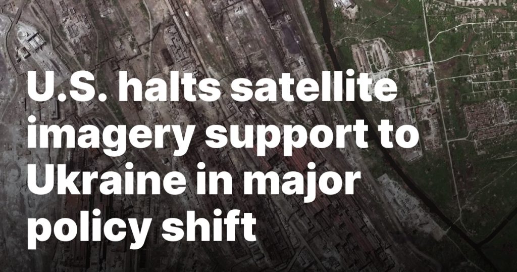
WASHINGTON — The Trump administration has suspended U.S. satellite imagery support for Ukraine, the National Geospatial Intelligence Agency confirmed March 7.
The decision cuts off Ukraine’s access to the National Geospatial Intelligence Agency’s (NGA) commercial satellite imagery platform, which since 2022 provided Ukraine electro-optical and synthetic aperture radar (SAR) imagery from multiple commercial remote sensing satellites.
“In accordance with the Administration’s directive on support to Ukraine, NGA has temporarily suspended access to the Global Enhanced GEOINT Delivery system, or GEGD, which is the primary portal for access to U.S. government-purchased commercial imagery,” an NGA spokesperson said in a statement.
NGA is a U.S. intelligence agency that directly supports the Defense Department and other federal agencies, providing geospatial intelligence to assist decision makers in defense, intelligence and humanitarian efforts.
The decision to halt Ukraine’s access to NGA’s imagery is part of an abrupt policy shift by the administration that also includes halting intelligence sharing and military aid to Ukraine.
Ukraine’s GEGD account suspended
The GEGD platform, developed and supported by Maxar Intelligence, serves as a comprehensive resource for satellite imagery procured by the U.S. government. The system aggregates imagery not only from Maxar but also from other commercial providers including Planet, Iceye, Blacksky, Capella Space and others.
Maxar confirmed the suspension of Ukrainian accounts in the GEGD system, noting that the company maintains contracts with both the U.S. government and other nations.
“Each customer makes their own decisions on how they use and share that data,” a Maxar spokesperson said. “We take our contractual commitments very seriously. There is no change to the way we support our other customers nor their programs or contracts.”
The pause in intelligence sharing is viewed as a tactical move by the Trump administration to exert diplomatic pressure on Ukraine and push its leadership toward peace negotiations with Moscow.
In 2022, following Russia’s invasion of Ukraine, the U.S. government authorized the delivery of commercial satellite imagery to Ukraine. This decision substantially enhanced Ukraine’s battlefield awareness, allowing for more precise monitoring of Russian forces and assessment of damage.
The war in Ukraine has been described by experts as the first “commercial space war” due to the unprecedented integration of private satellite imagery into military operations. Commercial satellite imagery has also played a crucial role in media coverage, helping document the war’s progression and highlight its humanitarian impact.
Following the termination of U.S. intelligence support, Ukrainian officials are exploring alternative sources for satellite imagery. Ukrainian media reported that Kyiv is in discussions with other nations and private firms to secure critical geospatial intelligence.